I woke up early in Dannevirke, and hit the road to head towards Napier.
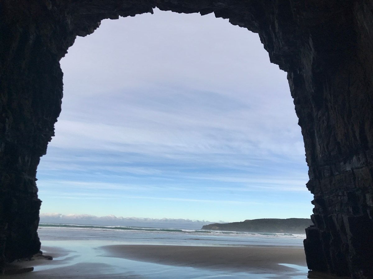
My first, rather long detour (quite appropriately, actually) was to the longest place name in the world, a hill called Taumatawhakatangihangakoauauotamateaturipukakapikimaungahoronukupokaiwhenuakitanatahu. The locals call it Taumata, as you can imagine that spitting out that whole name would take quite a while.
It is roughly translated as the The summit where Tamatea, the man with the big knees, the slider, climber of mountains, the land-swallower who traveled about, played his puterino (flute) to his loved one, a brother who passed away. If you zoom in on the picture you can read the story there.


After this, I continued on my journey through the lovely and scenic Hawkes Bay – passing through lots of farm land and wine country.
I made a few stops to admire the landscape, then checked into my hotel in Napier – which was quite lovely.
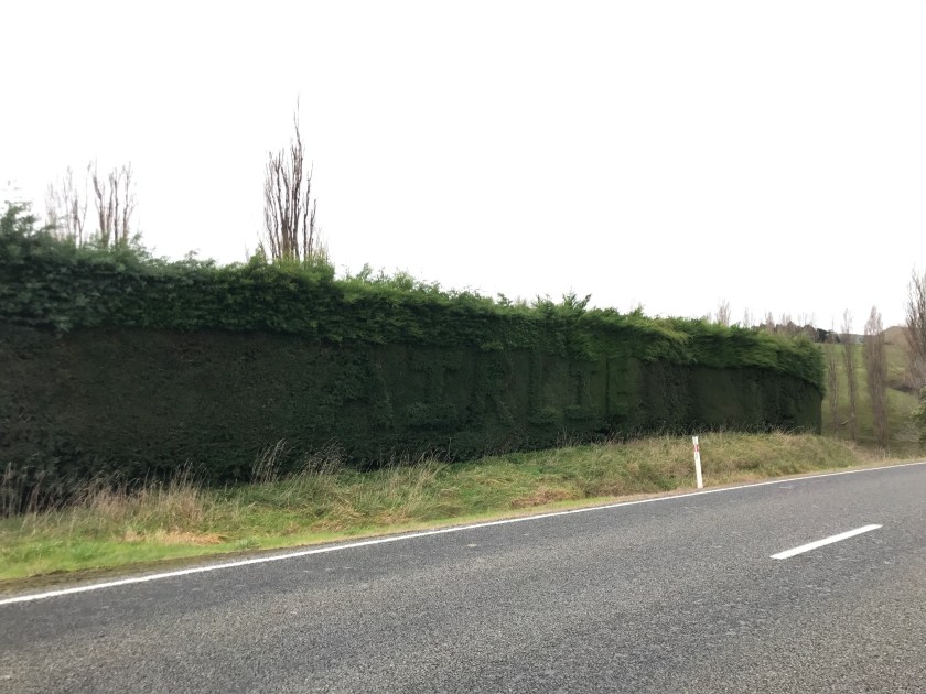
One stop was just to capture this crazy hedge:
Once I was settled in at my hotel and ready to explore, I headed to the Bluff Hill Lookout, which promised views and a lookout over the port. The wind was fierce, and there was a bit of rain, but I did manage to get a few pictures and not blow away. On a prettier day, I could have watched the works at the port for hours, I think.


I left the lookout, and descended down into the town of Napier, an Art Deco style town, due to an earthquake that decimated the town in the 30’s.
I decided that I would stroll along the boardwalk, and just see what I could discover, as there were gardens and other features along the way.
Once I had had enough of the cold, wind and rain, I grabbed dinner and headed back to the hotel.
The next day was my Hawkes Bay wine tour. I was picked up early in the morning, and had the tour guide to myself for the entire morning.
We started by heading up to Te Mata peak – which gave lovely views of the Hawkes Bay region – in between the foggy cloud cover – unfortunately, most of my pictures are after the fog rolled back in. The hang glider launch points made me laugh, and terrified me at the same time. I will do lots of things – but I am pretty certain I AM NOT that brave!


After that we headed to our first winery, Black Barn – which had a phenomenal Riesling – I am trying to save it to bring home. . . We will see. . .


I love the scenery of wineries!
The next stop was my favorite winery of the day I think – but that maybe because the lady running the tasting thought I was “charming” – it is totally the southern accent y’all – and gave me extra to taste – which panned out, because I made sure to find out howto buy their wine back in the states, and got a little bit of wine to take with me as well.


After this, I got to go to the Arataki Honey company store, which had tasters of different types of honey, as well as cool displays on the process for getting honey in New Zealand – the science teacher in me enjoyed it very much! Also, I had no idea there were so many unique honey flavors! Wow!

After the honey store, it was time for lunch, at a winery – y’all – they know how to do a yummy spread at the NZ wineries.


After lunch we picked up some others to join the tour, all Brits here for the Lions Rugby tour. They were a fun bunch, and it was nice to chat, compare travel notes and laugh along with them as we tasted wines the rest of the afternoon.


Around 5:00 I was dropped off at my hotel, and obviously wasn’t driving anywhere, so I ordered a pizza and relaxed for the rest of the evening in my hotel room (and watched Survivor NZ).